


Tonight's Budget-Finance Committee Agenda: https://towncloud.io/go/raymond-me/agendas/32
E-packet: https://towncloud.io/.../pdf_packet/get_agenda_document_link
Attorney Training at 5:30pm and Regular Meeting at 6:30pm - Broadcast Studio, Zoom, or YouTube
On December 30th a Municipal Recall Election was held; upon Select Board certification of the results of that election, there will be one vacancy on the Select Board. The Special Election to fill that vacancy is to be called between 30 and 45 days of that certification by the Select Board.
After the Select Board certifies the Recall Election results, candidates interested in fulfilling the remainder of that vacancy’s term should take out nomination papers from the Clerk’s Office and collect signatures of other registered voters in support of their name being included on the ballot. Given the quick turnaround time dictated by Ordinance, the time frame to collect signatures will need to be shortened from the usual 40 days to as short as a 10-day window (exact timing to be determined by Select Board).
Potential candidates will need 25 valid signatures from registered Raymond voters to qualify for the Special Election. (Candidates are encouraged to collect ~35 signatures to ensure that they meet the 25 valid signature threshold).
Once the Select Board certifies the results of the Recall Election, voters can begin requesting absentee ballots for mailing. Ballots will be created and mailed out as soon as all candidates are determined. When ballots are ready (relatively immediately following the deadline to turn in nomination papers), the Clerk’s Office will begin in-person absentee voting at the Town Office.
Voters are encouraged to plan ahead, as this election will occur during the winter, and potentially during school vacation week.
Updates will be posted here as information is confirmed and deadlines are set.
REQUEST FOR PROPOSALS (RFP) - MSW & RECYCLING CURBSIDE COLLECTION
Issued: October 22, 2025
Bids Due: January 20, 2026
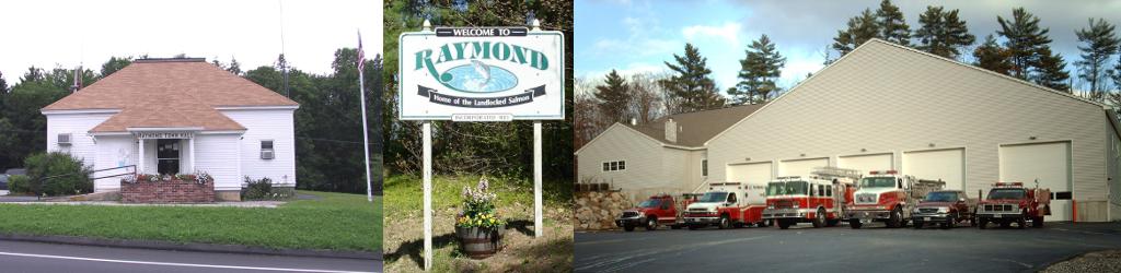
Town of Raymond, Maine
1. Overview
The Town of Raymond, Maine is requesting sealed proposals for the provision of Municipal Solid Waste (MSW) and Zero-Sort Recycling Collection Services. The Town seeks a qualified contractor to provide reliable, efficient, and responsible curbside and dumpster collection for designated municipal sites and residents. The Town is open to considering alternative collection methods that improve efficiency, sustainability, or cost-effectiveness, provided all minimum service standards are met.
Click HERE for complete RFP Document
The Town of Raymond is in the process of implementing a new website. This website will no longer update Select Board and Budget-Finance Committee agendas, packets or minutes. We are hopeful that the new website will be live by the end of 2025. While we are under construction please click HERE for current (August 2025-present) agendas and meeting minutes for those groups.
You do NOT need to log in - when the new site goes live, this page will be in an easier to view and read format.
To see the results of the November 4th, 2025, State Referendum election, click here.
The Town of Raymond is seeking residents interested in serving on the Board of Assessment Review!
This is a quasi-judicial board (like the Zoning Board of Appeals), appointed by the Raymond Select-Board, which considers property tax abatement appeals of decisions by the Board of Assessors and hardship appeals of decisions by the Municipal Officers. This Board traditionally meets on an as-need basis to consider appeals.
The Board is comprised of 3 regular members on staggered 3-year terms, and 2 alternate members also on staggered terms. This board has several vacancies available for both regular and alternate members.
Applicants must be at least 18 years of age and reside in Raymond. No previous board experience is necessary, but an interest or knowledge of real estate appraisal, tax law or other legal areas, land use development, or planning is a plus.
Interested persons should submit application to the Board of Selectmen c/o Melanie Fernald, Town Clerk at 401 Webbs Mills Road, Raymond, ME 04071. Applications for consideration are available by clicking the link below. For more information about this board please contact Curt Lebel at 655-4742 x 151 for more information.
For the application, click here.

Raymond Revaluation is Underway
Residential Real Estate data collection is complete!! If you were not home or your property was posted "No Tresspassing" you will recieve a letter sometime next Spring with instructions on how to schedule an appt for a site visit or call back.
Commercial Real Estate data collection has not yet begun. Notices will be sent out prior to data collection.
Personal Property data collection is currently underway.
PERSONAL PROPERTY APPRAISALS UNDERWAY
KRT PESONAL PROPERTY DATA COLLECTION STAFF
Looking for a way to get to know how Raymond works and give back to the community? Here is your opportunity! We are looking for individuals who would be interested in serving on the following committees:
Planning Board
Board of Assessment Review
Please click HERE for more information.
Employment Opportunities In the Town of Raymond:
-
After School Program Councelor - Job Ad | Job Description
-
Part-time/Per-diem Bus Driver - Job Ad
-
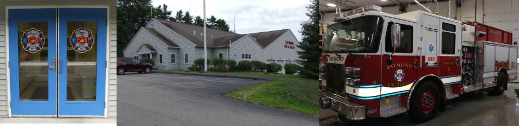
EMS/Firefighter - Job Ad
Fillable Job Application visit HERE.
Request for Proposals (RFP's) visit HERE.
Volunteer Opportunities visit HERE.
*The Town of Raymond is an equal opportunity employer